Geospatial intelligence
Bring terrain, location and field observations into a clearer view.
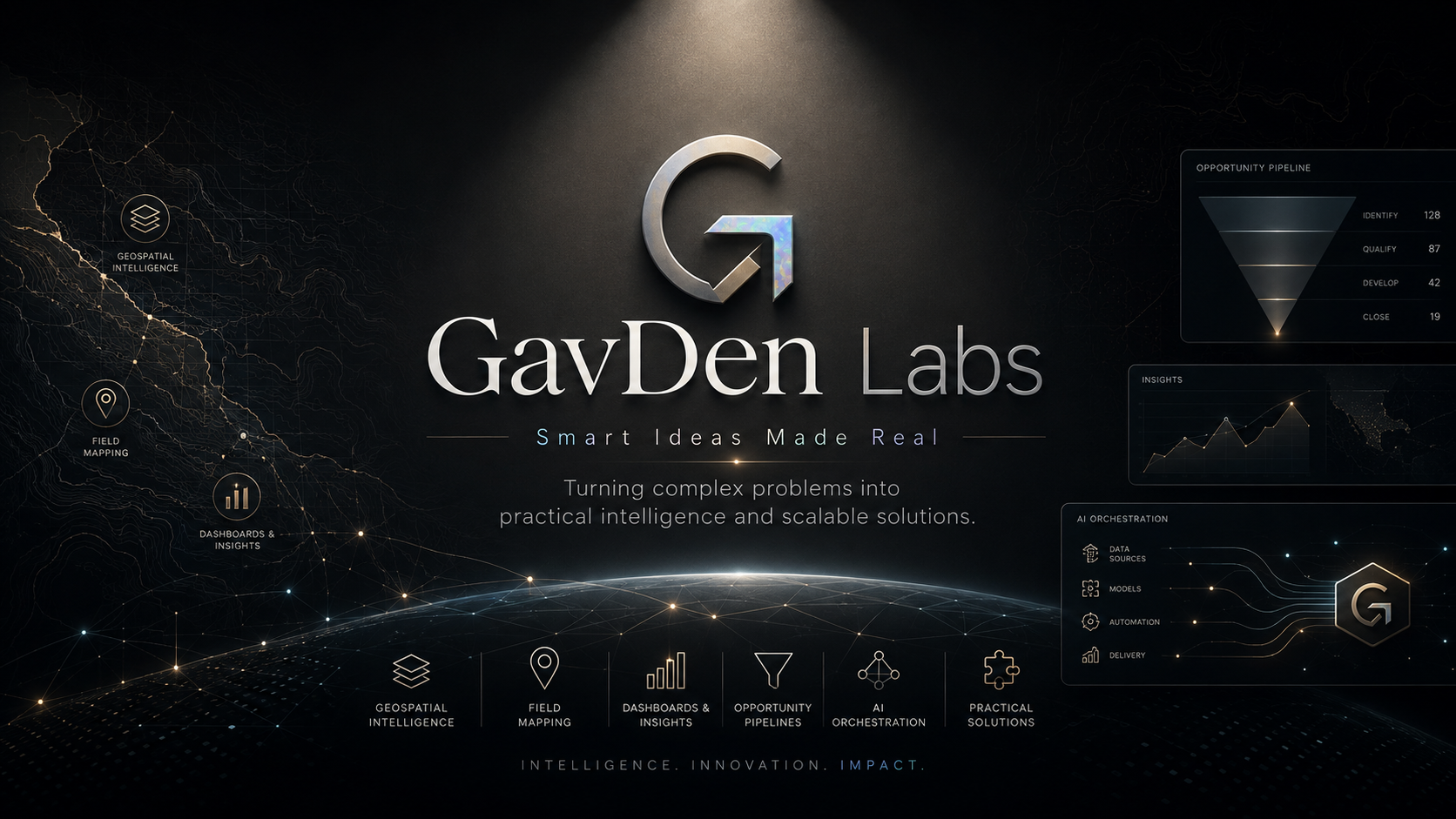
Smart Ideas Made Real
Turning complex problems into practical intelligence and scalable solutions.
Illustrative capability map · panels are not live metrics
Independent thinking. Practical execution.
GavDen Labs develops digital products and practical tools for complex, real-world work.
We bring together geospatial thinking, software development and human-led AI to turn scattered information into useful systems. From field tools to business workflows, the starting point is always the problem people need to solve.
About GavDen LabsCapabilities
Bring terrain, location and field observations into a clearer view.
Turn an idea into software people can use.
Make scattered information easier to act on.
Use AI with purpose and human judgement.
Products & ventures
From field preparation to terrain analysis, each product starts with a practical problem.
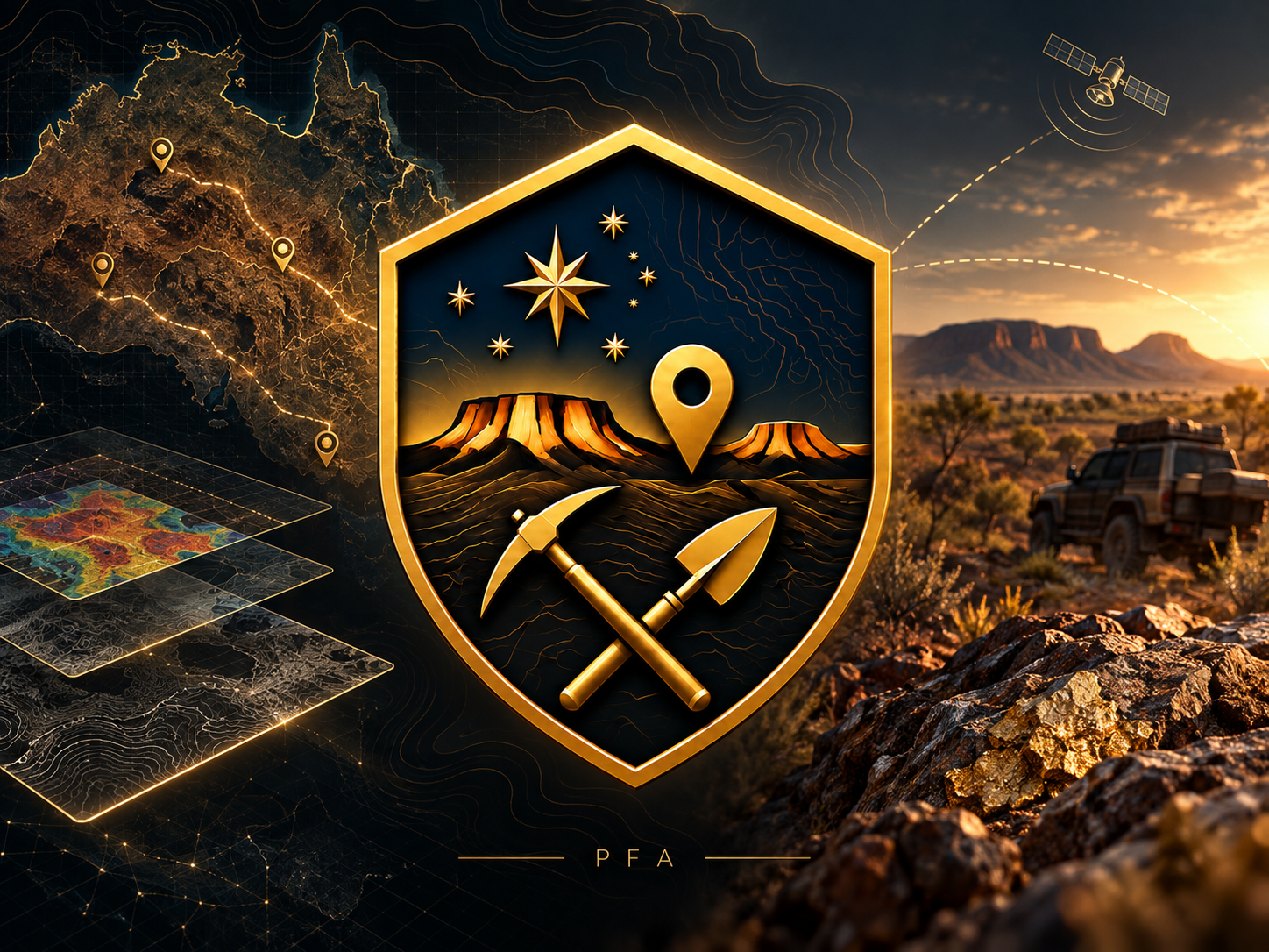
PFA
In development · public release pending
Field information, brought together.
A global field intelligence assistant in development: satellite-first mapping, VTAE-prepared regional packs, detector guidance and field records. Global coverage is a direction, not an availability claim.
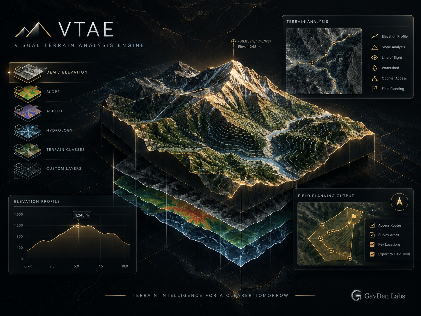
VTAE
Development project
A clearer view of the terrain.
Terrain-analysis tooling being developed for working with elevation data, reviewing derived layers and preparing information for field planning. Its development is connected to the PFA field-product work.
Development descriptions are not statements of public availability, validated field performance or commercial readiness.
How we work
Start with the people, the operating context and what a useful outcome looks like.
Shape a focused prototype, connect the right information and test the assumptions.
Check the experience and its limits before moving toward delivery.
Start a conversation
A complex problem, a new idea, or a workflow that could work better.